
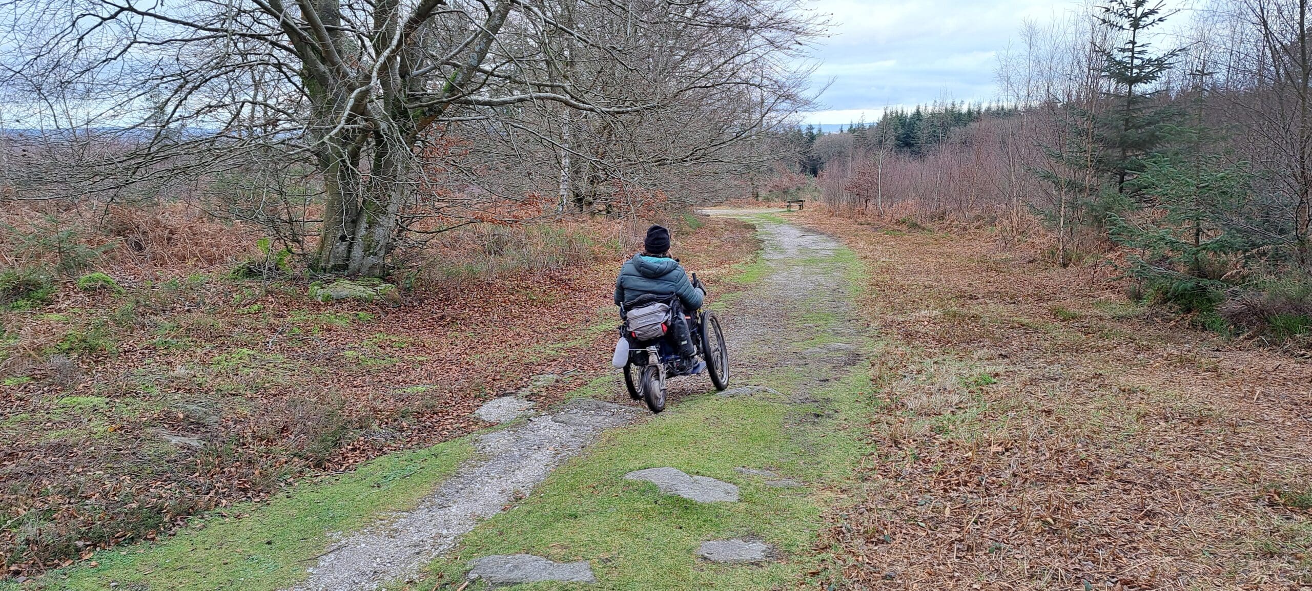
The Lower Wye Tracks & Trails project is focused on the Monmouthshire part of the Wye Valley National Landscape, looking at how to help provide the best experience for everyone who uses these routes to explore and enjoy the National Landscape. The Track & Trails Strategy and Action Plan has been developed and published with the aim of developing the most practical ways of supporting the requirements of all types of users, while protecting the natural and built environment for current and future generations.
A dedicated Steering Group has been established as a sub-group of the Monmouthshire Local Access Forum to oversee this project, guide its development and help ensure that future management decisions are informed by a range of local perspectives and stakeholder interests. The Terms of Reference and notes from meetings can be found at the bottom of this page. For more information or questions please contact: projects@wyevalleyaonb.org.uk
The Steering Group brings together representatives from relevant local authorities, land management organisations and stakeholder bodies. Its role is to:
The Steering Group does not make final legal decisions, but works collaboratively to develop recommendations and guide future actions by the local authority.
In October 2025, a consultant completed an audit of approximately 11 km of unsealed Unclassified County Roads (UCRs) across the Lower Wye Valley, assessing their condition and recommending future maintenance and management measures.
Following consideration by the project Steering Group, two priority routes were selected for pilot works: Tintern Road in Tintern and Grove Road (Horse Way) in Whitebrook. With funding limited, the pilot will help test practical solutions, assess their effectiveness and inform future management of the wider network.
Signage is being progressed along both routes to inform users, encourage responsible access and help prevent users inadvertently continuing from UCRs onto Public Rights of Way where their access may not be permitted. Two AI-powered monitoring cameras were also installed in September 2026 to gather data on route usage and help better understand the pressures on both routes.
A UCR Information Hub is also being developed as an online resource to help the public understand the history and purpose of UCRs, how to identify them, and how and when to report inappropriate use to the police.
A 12-month action plan has been developed to guide the project’s work and is available in the downloads section at the bottom of this page.

Meetings:
Appendices: